My research is supported by:
INSU PNTS, 2022-2023
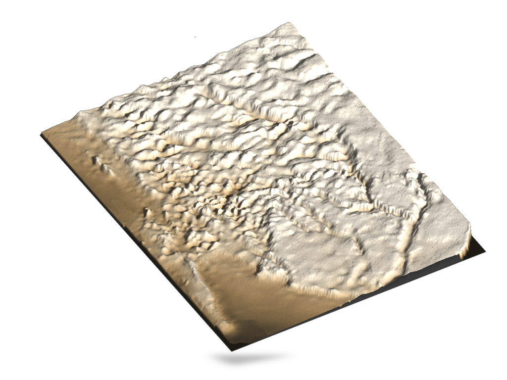
SIERRA - remote-SensIng modEling from aRchived glacieR imAges
This a technical project which aims at developping new algorithms in order to model sensor from archived images acquired during the 20's century. We will first focus on areas with steep slopes and high contrast such as glacier covered regions in order to assess the accuracy of the methods. Then, we intend to apply our approach on a wide kind of landscapes.
LabEX UnivEarthS, 2020-2022
EROSAT - ERosion from geOchemistry and remote Sensing of lAndslides in the Tropics
As a major agent of erosion and sediment supply to rivers, mass wasting are one of the most efficient physical processes shaping the Earth’s surface and is thus critical to landscape evolution. They promote the percolation of surface runoff in highly fragmented rock debris thereby creating favorable conditions for chemical weathering that is a major atmospheric carbon dioxide sink. EROSAT project aims to evaluate the role of slope instability in sediment and solute fluxes from watersheds, and to study their impact on the critical zone in tropical islands of Guadeloupe, where erosion and weathering rates are among the highest on Earth. By a combining an innovative multidisciplinary approach based on ObsEra data, geochemical analysis and multi-scale remote-sensing, EROSAT will lead to an analytical scaling between mass wasting and sediment/solute load in the river. Ultimately, EROSAT will deliver a quantitative modeling of the sediment and solute transport driven by mass wasting.
DiiP Strategic Project, 2021
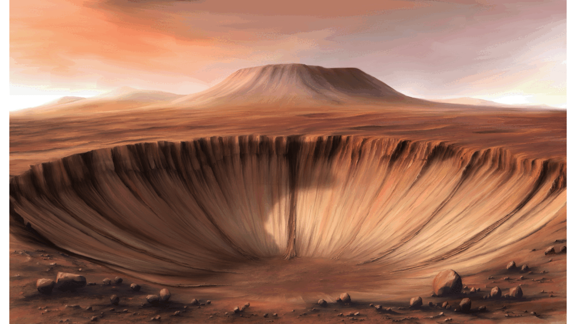
PARKER - Planetary lidAR seeKing for lifE signatuRe
Topography, the surface configuration of a planet, bears the imprint of the processes that shape it. Deciphering the ”text”
encoded in topography has been the goal of scholars for centuries (Darwin, Gilbert, others). For scholars looking into space,
topography is a window in the processes that shape alien worlds. Here on Earth, it offers clues to how our planet might be
different, and if so why. Despite centuries of theory that the abundance of life is shaping the surface of our planet (Darwin,
1881), the study of topography has yet to uncover a unique signal on Earth. Indeed as recently as 2006, Dietrich and Perron who asked the question is there a topographic signature of life? concluded that none could be detected from terrestrial
data available back then. Today, with the revolution in Earth observations from space, we can approach this question with
fresh eyes and extend it to other bodies of the Solar System. Doing so requires the interpretation of a wide range of data sets,
and cutting edge mathematical approaches to their integration. This integration and interpretation are the focus of this proposal.
IPGP BQR, 2020
RainForeST – RAdiatIve traNsfert FOR assEssing Sediment Transport
It is important first of all to have a good understanding of how sediment transport takes place in rivers. We know that fine particles represent an important fraction of the transported sediment mass (Syvitski & Saito, 2007). Suspended load is therefore an important factor in erosion. However, recent field measurements show that suspended fine particles interact with the bed (Misset et al., 2019). Based on this observation, it is therefore possible to develop a formalism of suspended transport that explicitly takes into account the exchange of fine particles between the bed and the water column. This approach makes use of three parameters which are : (1) a threshold water level above which the flow begins to erode the bed, (2) an erosion rate which characterises the intensity of sediment entrainment and (3) a characteristic sedimentation time.
However, if river flow and turbidity are measured with a 5-minute time step, measurements of suspended solids concentration are sporadic since they require field sampling of sufficient water during a flood event to collect sufficient material transported by the river. The sediment (turbidity) load of a river or water body is measured using a laser light emitter/receiver instrument. The manufacturer is responsible for providing the calibration curves of its instrument (turbidity versus received intensity) and the user has no control over this calibration, nor can the user directly relate the true concentration of suspended matter to the turbidity measurement.
Thus, until now, we have had to convert the turbidity signal into a suspended solids concentration from an empirical calibration curve that we have obtained from river samples (Fig. 1). However, such an approach does not take into account variations in the granulometry of the suspended matter since it integrates all the measurements made regardless of the collection period. Moreover, its non-linear nature implies a high uncertainty towards small values. We therefore propose to reproduce in the laboratory the measurement conditions in the field in order to establish a calibration based on physical considerations. This study could be completed by modelling the radiative transfer (Mobley, 2001).